Bolivia · South America
Salar de Uyuni
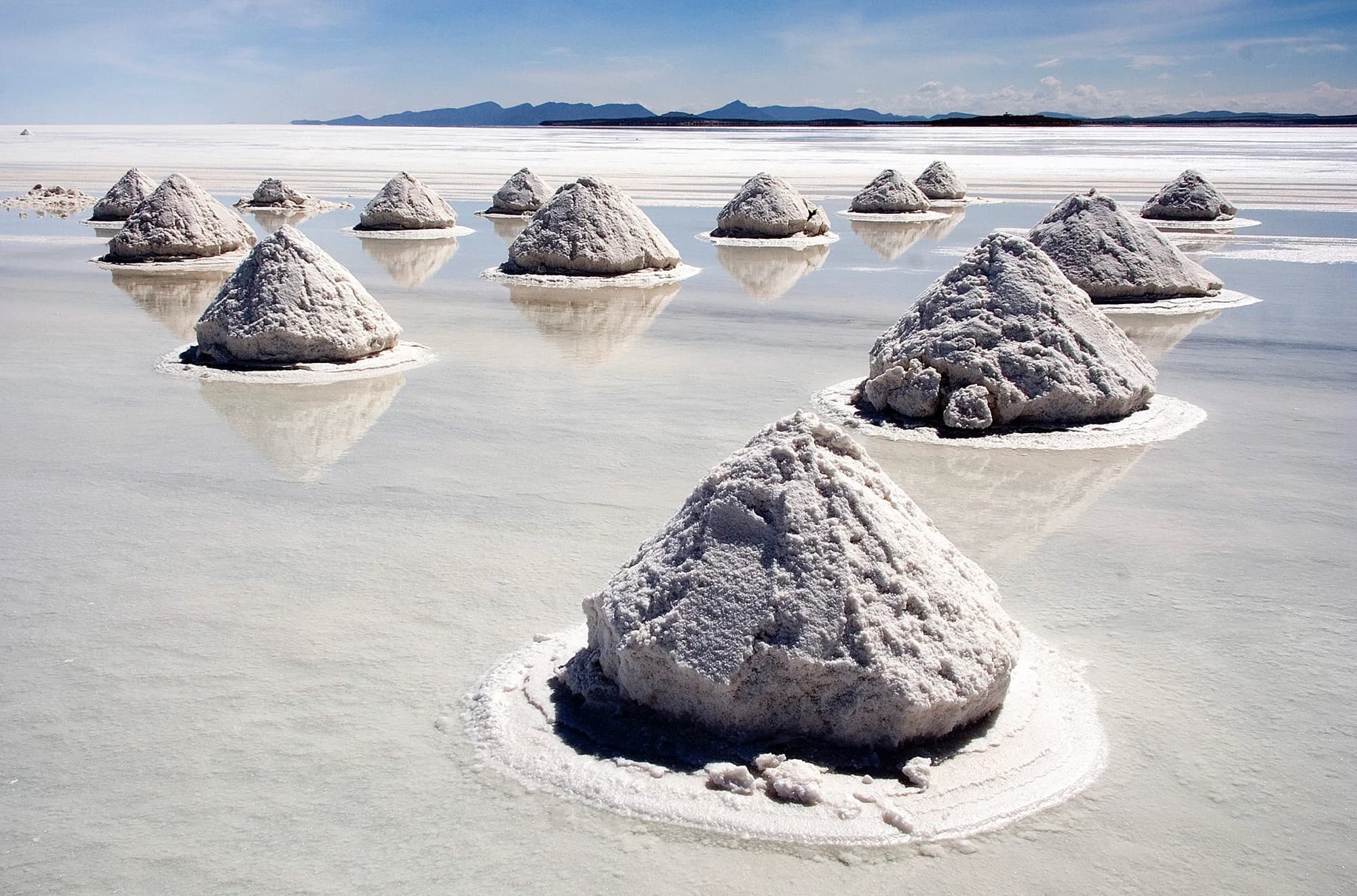
During the wet season, a thin sheet of water settles over the Salar de Uyuni's 10,000 square kilometers of salt crust and turns the entire flat into the world's largest natural mirror — a reflection so seamless that photos of visitors here regularly look like they're standing in mid-sky.
The Salar de Uyuni covers roughly 10,000 square kilometers of Bolivia's high Andean plateau, making it the largest salt flat on Earth by a wide margin, formed from the slow evaporation of prehistoric Lake Minchin over thousands of years, leaving behind a crust of salt in places several meters thick.
Its most famous feature only appears seasonally: during the wet season, roughly December through April, rainwater collects in a thin sheet across the flat surface, turning it into an enormous natural mirror. The reflection is precise enough that photos taken here regularly look manipulated, with visitors and vehicles appearing to float in an unbroken sky.
The rest of the year, the salt flat dries into a cracked, stable white expanse, which enables a completely different kind of photography — the perfectly flat, featureless horizon makes the classic forced-perspective trick photos, where a person appears to be standing on a giant's hand or stepping out of a tiny box, genuinely easy to pull off without special equipment.
Incahuasi Island, a rocky outcrop rising from the middle of the flat, is the exposed peak of an ancient volcano now stranded in salt instead of water, covered in giant cacti that can grow over a meter per century, meaning some of the tallest specimens here, reaching 12 meters, are estimated to be well over 1,000 years old.
Beneath the visible salt crust sits something considerably more valuable to the modern economy: an estimated significant portion of the world's known lithium reserves, embedded in the brine layer below. Bolivia has been developing extraction infrastructure to tap those reserves, a real economic dimension to the salt flat that exists well outside its role as a photogenic tourist destination.
What a trip here actually costs
$45 / day avg.
- Shared multi-day jeep tour with basic salt-block hotel
- Group meals included with the tour
- Transport from Uyuni town
- Incahuasi Island entry
What to do at this tier
- • Salt flat crossing with forced-perspective photos, part of any standard tour
- • Train cemetery near Uyuni town, a graveyard of abandoned steam locomotives
- • Colchani village to see traditional salt harvesting and processing
$100 / day avg.
- Small-group jeep tour with better-appointed lodging
- All meals included
- Sunset and sunrise photo stops on the salt flat
- Train cemetery and Colchani salt-processing village visit
What to do at this tier
- • Incahuasi Island's giant cacti forest
- • Sunrise or sunset photography session on the salt flat
- • Wet-season mirror effect tour, if visiting December-April
$250 / day avg.
- Private jeep tour with a dedicated driver-guide
- Stay at one of the salt flat's higher-end salt hotels
- Multi-day extension into the Eduardo Avaroa Andean reserve
- All meals and transport included
What to do at this tier
- • Extended tour into the Eduardo Avaroa Andean Fauna National Reserve, including colored lagoons and flamingos
- • Private stay at a salt-block hotel
- • Private driver-guide for a flexible, less rushed itinerary
These are average estimates for planning purposes, not real-time prices — actual costs vary by season, availability, and how far ahead you book.
How to get there
Click anywhere on the world map — any airport works, not just our main hubs.
Click anywhere on the map above — any airport in the world works — to see estimated travel time and cost from there.
Times and prices are planning estimates, not live fares — always check a booking site before you commit. See the full Transport Comparison guide for the general tradeoffs of each mode.
Best time to visit
May through October gives dry, stable salt for classic photos and easier driving conditions. December through April brings the famous mirror effect but muddier, less predictable roads.
Safety notes
Generally safe, though the salt flat's featureless expanse is genuinely disorienting without a guide, and altitude, Uyuni sits around 3,650 meters, can affect visitors arriving without acclimatization.
Visa & currency
Bolivian boliviano (BOB). Requirements vary significantly by nationality, with several countries, including the US, requiring a visa obtained in advance or on arrival — worth confirming current requirements well before booking given Bolivia's stricter entry rules compared to most South American neighbors.
Questions people ask before visiting
When does the Salar de Uyuni's mirror effect happen?
Roughly December through April, Bolivia's wet season, when a thin layer of rainwater sits on top of the salt crust and reflects the sky with almost no distortion. The rest of the year, the salt flat is dry, cracked, and walkable, better suited to the classic forced-perspective photos the salt flat is also known for.
What is Incahuasi Island?
A rocky outcrop rising from the middle of the salt flat, covered in giant cacti, some over 1,000 years old and 12 meters tall — the remnant of an ancient volcanic island now surrounded by salt instead of water. It's a common stop on multi-day salt flat tours.
How do you get to the Salar de Uyuni?
Most visitors fly or take an overnight bus to the town of Uyuni, then join a guided tour, typically one to three days, since the salt flat itself has no services or clear paths and is genuinely disorienting without a guide.
Is it true the Salar de Uyuni has huge lithium reserves?
Yes — the salt flat sits on an estimated significant share of the world's known lithium reserves, embedded in the brine beneath the salt crust. Bolivia has been developing extraction infrastructure, a genuinely significant economic factor behind the region's importance beyond tourism.
Nearby destinations
 La Paz
La Paz
Bolivia
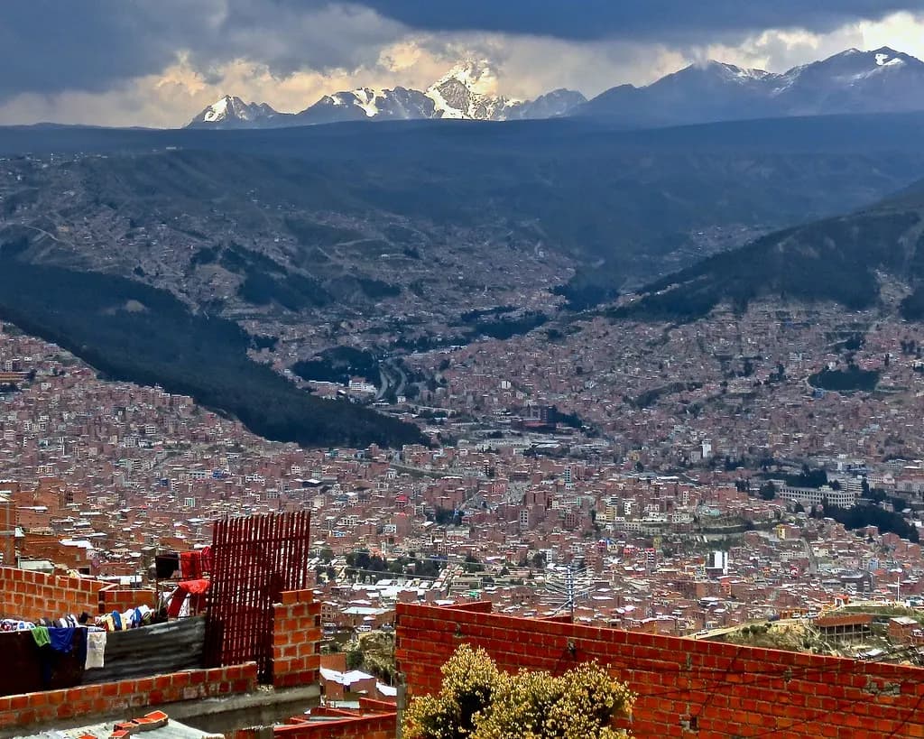
La Paz sits so high — over 3,600 meters at its lowest point — that the city built the largest urban cable car network on Earth just to move people up and down the canyon it's built into, since regular buses and roads couldn't handle the terrain.
See full guide →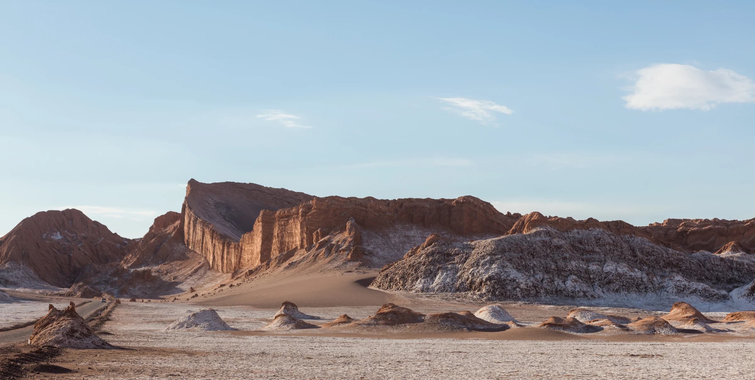 San Pedro de Atacama
San Pedro de Atacama
Chile
Some weather stations in the Atacama Desert around San Pedro have never recorded a single drop of rain since records began, making it the driest non-polar desert on Earth — and that same relentlessly clear, dry air is exactly why the world's most powerful array of radio telescopes was built on a plateau nearby.
See full guide →Comparing more than one route? See the full transport comparison guide.