Marshall Islands · Oceania
Majuro
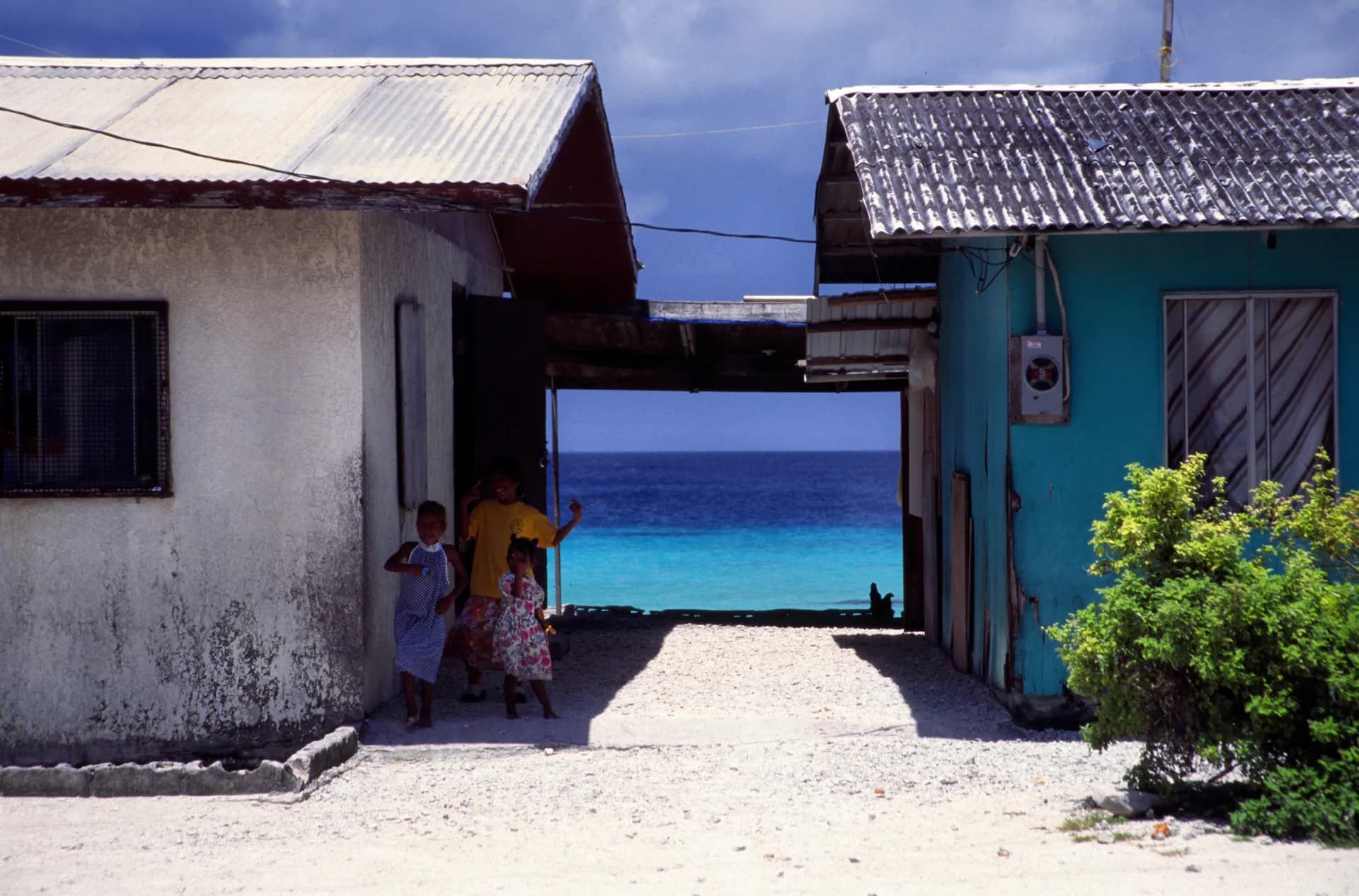
Majuro Atoll's entire land area sits barely two meters above sea level at its highest point, a capital city and its roughly 27,000 residents strung along a coral rim so narrow that the lagoon and open ocean are visible from the same road, making it one of the most direct places on Earth to witness what rising seas actually threaten.
Majuro Atoll's geography makes an abstract climate statistic feel immediate. At its highest natural points, the coral rim that carries the capital's roads, homes, and government buildings sits barely two meters above sea level, and in places the strip of land narrows enough that the calm lagoon on one side and open Pacific swell on the other are both visible without turning your head. It's a physically small, densely inhabited place built on terrain that offers almost no buffer against the ocean surrounding it on every side.
That vulnerability isn't a future projection here; it's already a recurring event. King tides, unusually high tidal peaks that occur several times a year, regularly flood low-lying roads and yards across Majuro, and the Marshall Islands government has used its own capital's exposure as a central, frequently cited example in international climate negotiations, arguing from direct experience rather than modeling.
The atoll's history runs deeper than its current climate profile. Majuro and the wider Marshall Islands saw fighting and military buildup during World War II, and the islands later became the site of extensive U.S. nuclear weapons testing during the Cold War, a legacy still present in Marshallese political life and covered directly at the Alele Museum in town, alongside broader exhibits on Marshallese navigation, culture, and history.
Wrecks and relics from the WWII period remain scattered around the atoll, some sunken and visible while snorkeling, others beached and left largely as found, a low-key, undramatized version of the wartime history that gets more polished museum treatment elsewhere in the Pacific. Laura Beach, at the atoll's western end, offers the clearest water and least developed shoreline on Majuro, a genuine escape from the more built-up town center.
Reaching Majuro requires working around one of the Pacific's more limited flight schedules, primarily the island-hopper route connecting Honolulu to Guam with several Micronesian stops along the way. That inconvenience has kept visitor numbers low, and what tourism does exist tends toward travelers with a specific interest in atoll geography, wartime history, or simply seeing firsthand a place whose future is genuinely uncertain in a way few other capital cities can claim.
What a trip here actually costs
$150 / day avg.
- Hotel in Majuro town
- Local taxi transport
- Restaurant meals
- Alele Museum entry
What to do at this tier
- • Lagoon-side snorkeling
- • Alele Museum visit
- • WWII wreck and relic sites around the atoll
- • Laura Beach day trip
These are average estimates for planning purposes, not real-time prices — actual costs vary by season, availability, and how far ahead you book.
How to get there
Click anywhere on the world map — any airport works, not just our main hubs.
Click anywhere on the map above — any airport in the world works — to see estimated travel time and cost from there.
Times and prices are planning estimates, not live fares — always check a booking site before you commit. See the full Transport Comparison guide for the general tradeoffs of each mode.
Best time to visit
December-April avoids the higher rainfall of the wet season; king tide flooding events are worth checking for, as they periodically affect low-lying roads.
Safety notes
Generally safe; medical facilities are limited, and serious conditions typically require evacuation to Honolulu or the Philippines.
Visa & currency
United States dollar (USD), the official currency under the Compact of Free Association. Many nationalities receive short-stay entry without a visa; confirm based on passport.
Questions people ask before visiting
Is Majuro worth visiting?
For travelers interested in atoll geography, WWII and Cold War-era Pacific history, and a destination that sees very little international tourism, yes. Majuro offers lagoon snorkeling, wartime relics, and a direct, sobering look at a nation confronting sea-level rise in real time, rather than typical resort scenery.
Why is Majuro at risk from sea-level rise?
Majuro Atoll's highest natural points sit only around two meters above sea level, and much of the developed area sits lower still, making the capital acutely exposed to both gradual sea-level rise and increasingly severe king tide flooding events, a situation the Marshall Islands government has raised repeatedly in international climate forums.
How do you get to Majuro?
United Airlines' island-hopper route connects Majuro to Honolulu with stops at other Micronesian islands, and it's also a stop on the direct Honolulu-to-Guam corridor. Flights are infrequent, so schedules require advance planning around the limited weekly options.
What is there to do in Majuro?
Lagoon-side snorkeling, WWII relics including sunken and beached wrecks around the atoll, the Alele Museum covering Marshallese history and the nuclear testing era, and a genuine look at daily atoll life in one of the world's narrowest inhabited land strips.
Nearby destinations
 Guam
GuamGuam
Guam
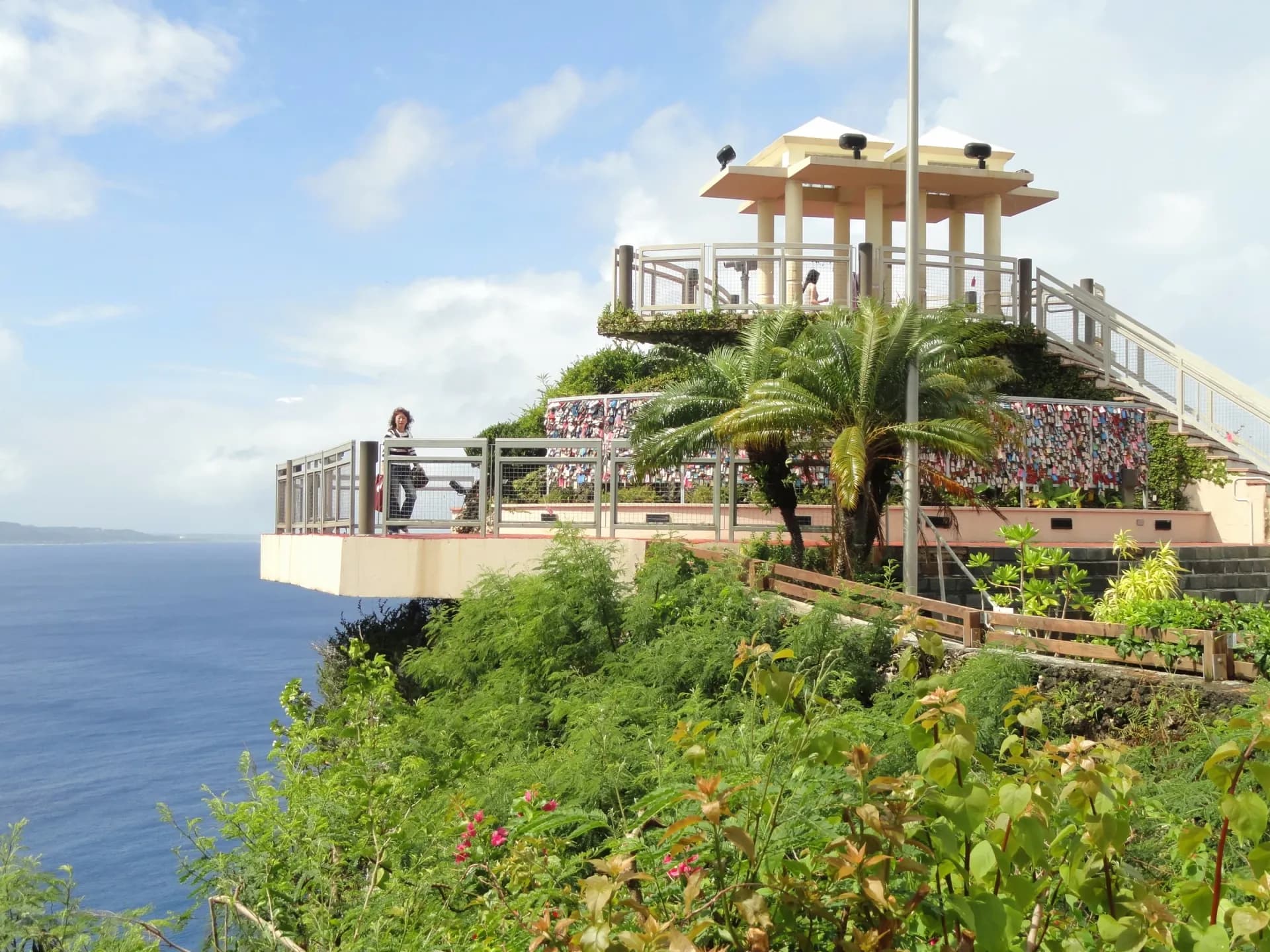
Guam spent roughly 300 years as a Spanish colony before the United States took control in 1898, and ancient latte stones, the carved pillar bases that once supported traditional Chamorro houses, still stand scattered across the island as a reminder that its history runs thousands of years deeper than either colonial chapter.
See full guide →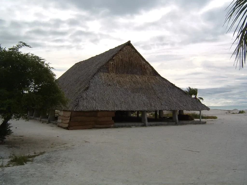 Tarawa
Tarawa
Kiribati
Kiribati is the only country in the world that spans all four hemispheres, a quirk it made official in 1995 by moving the International Date Line eastward specifically so the whole nation could share a single date and become the first place on Earth to see each new year — a remote atoll nation now more often discussed for how much of it might disappear under rising seas.
See full guide →Comparing more than one route? See the full transport comparison guide.